

Rail Corridor Walk Guide: Sections, Distances And Rules

C

Photo Credit: Silverstreak

The Rail Corridor was conceived as a 24-kilometre ecological route connecting Woodlands to Tanjong Pagar, according to NParks. More than 21 km is now continuous from opposite Kranji MRT station to Spooner Road, according to NParks, and the corridor is open 24 hours a day. It is not lit at night, so plan to finish in daylight. Riders on two wheels must keep to 10 km/h on shared paths, according to TheSmartLocal.

This guide breaks the corridor into sections and explains what to plan for.

What Are The Sections Of The Rail Corridor?

The corridor follows the old Malaysian railway line that ran through the middle of Singapore. TheSmartLocal says it has more than 30 access points between Kranji and Hillview, including Kranji War Memorial, Choa Chu Kang Road and Hillview MRT.

Think of it in three parts. The northern section starts opposite Kranji MRT at the Kranji Node, which Time Out says has a 250 m rustic nature trail and a new 2,000 sqm events field. The central section includes the 4 km stretch from Bukit Timah Railway Station to Hillview Road, near Hillview MRT, which Changi Airport’s guide calls Holland Green Linear Park. The southern section runs towards Spooner Road for now, and TheSmartLocal says the stretch to Tanjong Pagar Railway Station was slated to open in 2026.

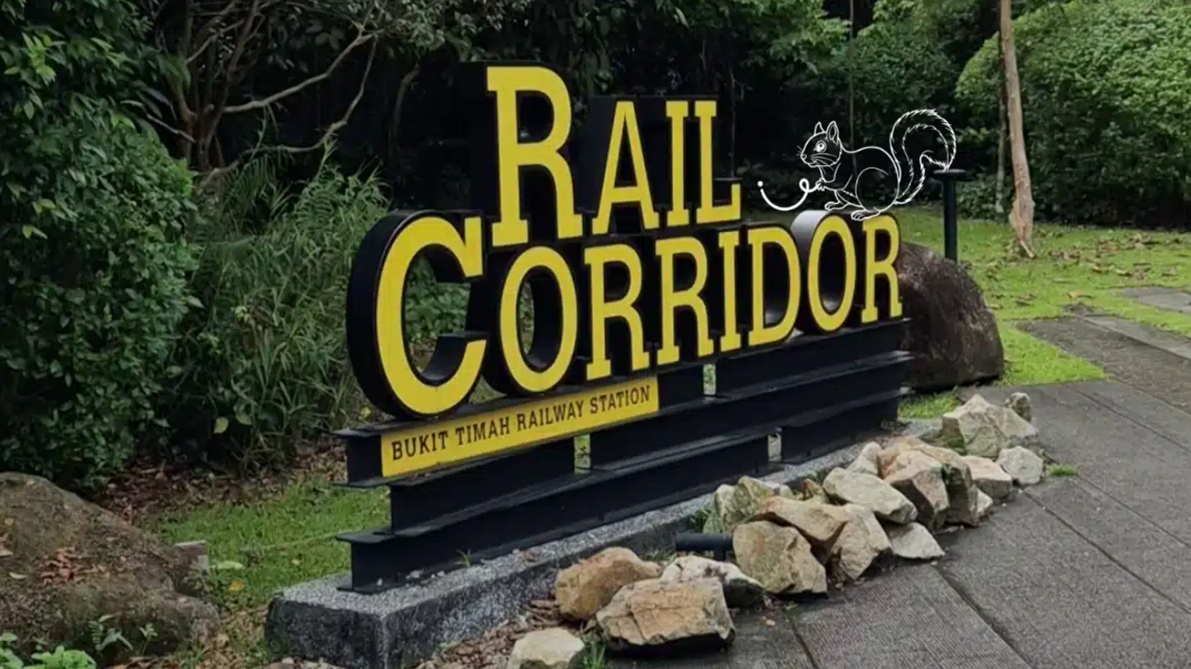
A short answer to “where should I start?” is Bukit Timah Railway Station, which the guide calls the transition between the southern and central sections.

How Far Is Each Part, And How Long Does It Take?

Plan by section, not by the full route. TheSmartLocal lists the full 24 km as three to four hours of cycling. Walking the whole distance takes much longer, so most people pick one section.

Here is a simple planning table, based on published sources.

Section

Start And End

What To Know

Northern

Kranji MRT to Hillview MRT

More than 30 access points, enhanced trail

Central

Bukit Timah Railway Station to Hillview Road

4 km, restored station reopened in 2022

Southern

Bukit Timah area to Spooner Road

Tanjong Pagar link planned for 2026

Full route

Kranji to Spooner Road

More than 21 km continuous, 3 to 4 hours of cycling

Some features are worth planning around. Wikipedia says the 4 km stretch between the Bukit Timah Truss Bridge and the Upper Bukit Timah Truss Bridge reopened in March 2021, and that the Bukit Timah Railway Station area was restored and reopened in 2022.

If you want a lighter outing to pair with a walk, our guide to free things to do in Singapore this weekend has more no-cost ideas.

What Rules And Safety Points Should I Know?

Daylight matters. NParks says the Rail Corridor is open 24/7, but it is not lit at night so that nocturnal wildlife can move through. It says lighting is provided only at certain access points, essential walking paths and benches near the public restrooms, and at Bukit Timah Railway Station. TheSmartLocal advises avoiding staying late.

Share the trail. TheSmartLocal says bicycles and walkers share paths in some portions, and that the speed limit for two-wheelers is 10 km/h. Bring water, because NParks lists the nearest toilets at Hillview MRT and at 9 Mile Platform, next to the Upper Bukit Timah Truss Bridge.

Wear shoes with grip. Wikipedia describes the surface as porous trail, grass and gravel, which can be uneven or slippery after rain.

Is The Rail Corridor A Good Way To Explore Singapore?

I think so, especially in the morning. It feels quieter than most parks, and the old railway features give it a sense of history. If you only have an hour, start at Bukit Timah Railway Station and walk a short stretch.

Here is the blunt limitation. Sections open in stages, and plans such as the Tanjong Pagar link may shift. Surfaces, access points and rules can also change. Check NParks’ Rail Corridor page before you go, and tell someone your route if you plan a long walk.

For more outdoor ideas across the island, browse our Travel section for more ways to explore Singapore.

How Do I Plan Access And Timing?

Pick your entry point first. TheSmartLocal says there are more than 40 entry points along the whole stretch, and a route from north to south runs through Kranji, Mandai, Choa Chu Kang, Bukit Timah, Holland Road, Buona Vista and Bukit Merah. Start early in the morning, since the trail has no lighting in most sections, and choose an end point near an MRT station so you do not have to retrace your steps.

Frequently Asked Questions

Is the Rail Corridor open at night? Technically yes, since NParks says it is open 24/7. It is not lit, though, so only certain areas have lights. A daytime visit is safer.

Can I cycle the whole route? Yes. TheSmartLocal lists the full 24 km as three to four hours of cycling, but riders must stay within 10 km/h on shared sections.

Where are the toilets? NParks lists Hillview MRT Station and 9 Mile Platform, next to the Upper Bukit Timah Truss Bridge, as the nearest toilets for the northern stretch.

Is it suitable for children? Short, shaded sections such as the Kranji Node or the area around Bukit Timah Railway Station suit families best. Carry water and plan rest stops.

If you know a section we should add, email us at admin@dei.com.sg.


C
Content Team
Rail Corridor Walk Guide: Sections, Distances And Rules
12 November 2026
Save
Rail Corridor Walk Guide: Sections, Distances And Rules
C
Content Team
Singapore Events In January 2027: ART SG, Art Week And More
11 November 2026
Save
Singapore Events In January 2027: ART SG, Art Week And More
C
Content Team
Eternal Beauty Holdings Releases the "2026 Hong Kong Daily Mood Index and Fragrance Trends White Paper"
12 November 2026
Save
Eternal Beauty Holdings Releases the "2026 Hong Kong Daily Mood Index and Fragrance Trends White Paper"